Autonomous aircraft, built in house.
V-TECH designs the airframe, writes the autonomy and runs its own ground station. A team of Falx Systems, Inc.

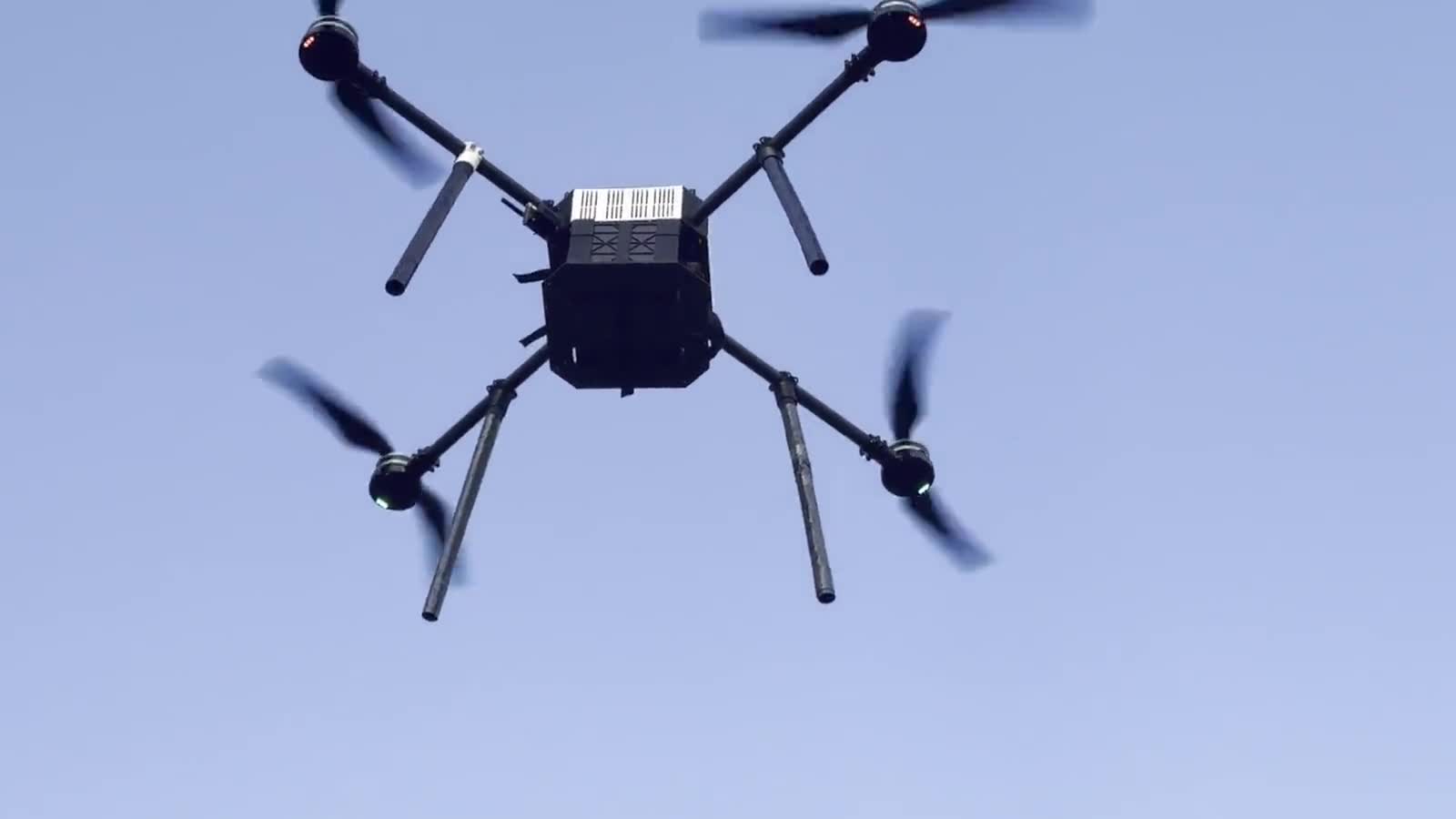
V-TECH designs the airframe, writes the autonomy and runs its own ground station. A team of Falx Systems, Inc.
Airframe
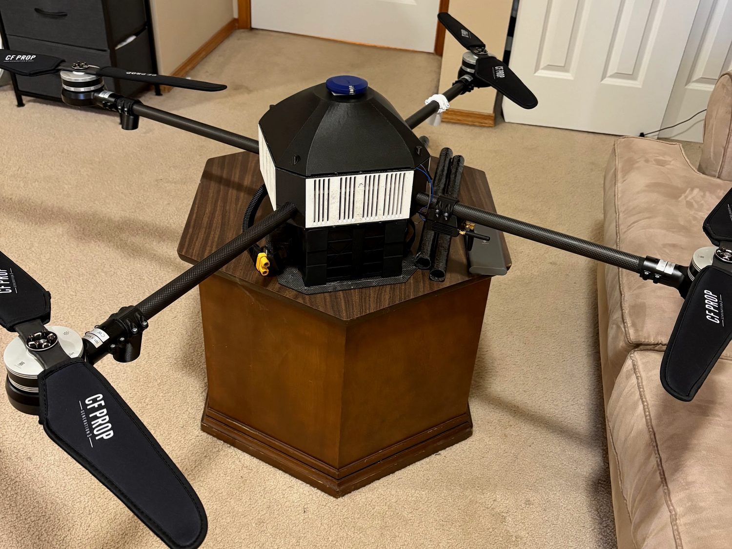
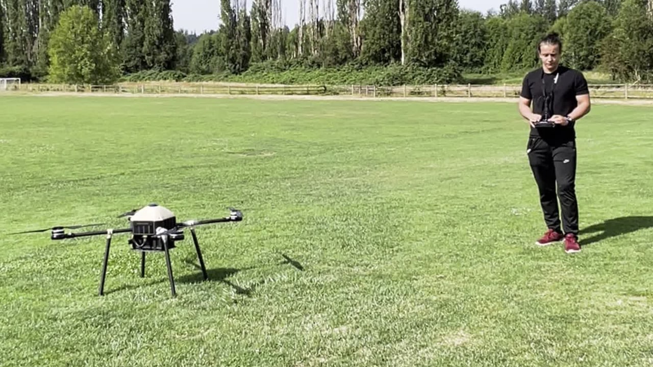
An X-frame in carbon plate and tube. The arms come off with knurled thumb screws, so it breaks down for transport and goes back together at the field without a tool. Two payload bays hang under the centre plate.
Avionics
A Cube Orange+ on ArduPilot flies it. A Here4 GPS gives position and broadcasts FAA Remote ID. Two independent RFD900x telemetry links and a manual RC backup cross the gap to the ground.
Autonomy
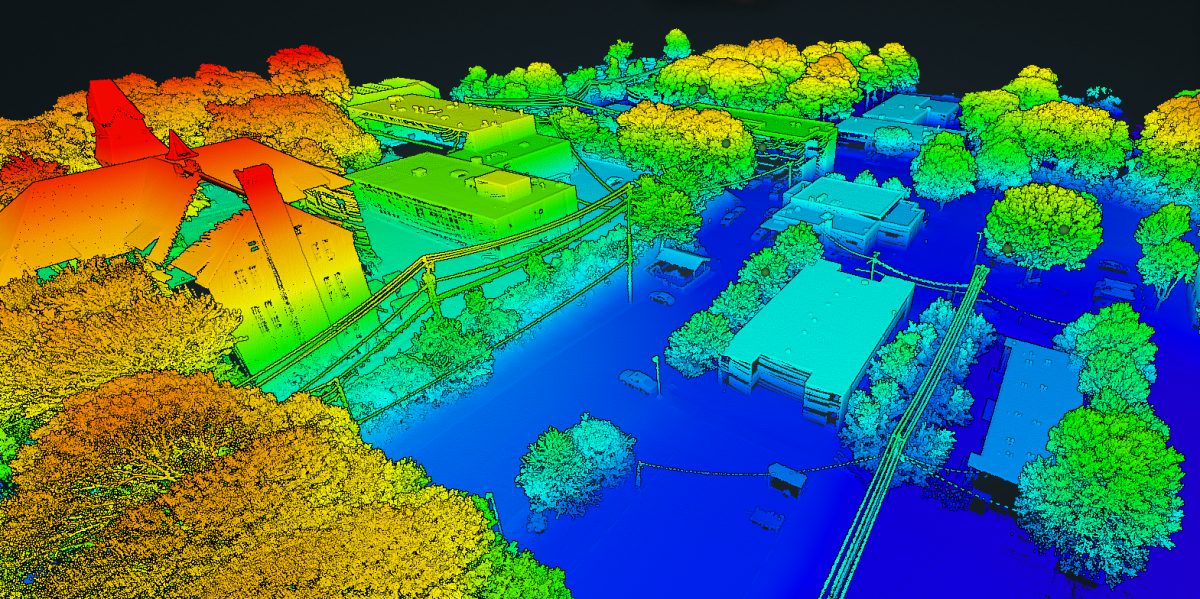
One command and it flies a lawnmower grid on its own. A Jetson Orin NX onboard builds the map while the lanes go by.
Detection
A YOLOv8 detector runs in real time on the Jetson and projects each find to a GPS coordinate. A wind-corrected release puts the payload where it should land.
Ground station
Every step above is watched and commanded from our own web ground station: live map, flight instruments, mission planning and the judge display.
Illustrated mission profile, not flight data
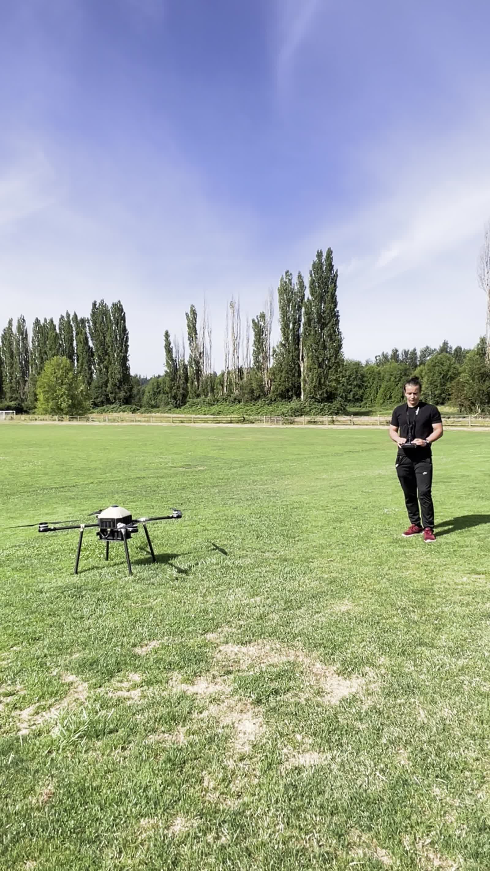
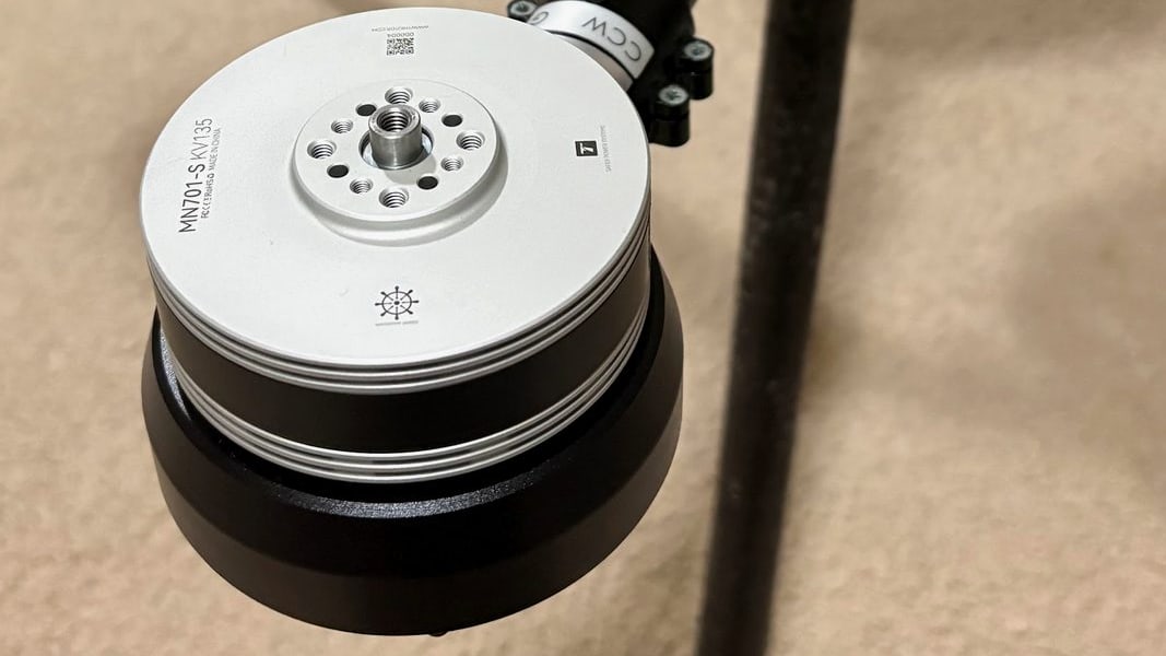
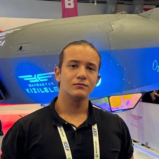
Photographs and footage from our own build and test days.
 Kerem IsiktasliTeam Lead, Mechatronics
 Emin Malik YildizElectronics Lead, Avionics
 Samet Emre TuranElectrical & Electronics Engineer
 Muhammet Emin ErdagiSoftware System Architect
 Ali Kerem YildizSoftware, AI Systems
 Mustafa Eren IsiktasliSoftware, AI Systems
 Muhammed Enes PetekCarbon Fiber Manufacturing
 Muhammed Hamza BulutSocial Media & PR
 Odilkhon GulomovSafety Pilot, PR
 Ahmet Enes AkkasSocial Media & PR
Figures reflect the current aircraft configuration.
The airframe, the autonomy and the ground station are ours. V-TECH is funded by Falx Systems, Inc., so we answer to the flight log rather than to a sponsor deck. If you want to back a team that builds what it flies, we would like to hear from you.