
V/04 · SYSTEMS
Four systems, documented.
The airframe carries it, the avionics fly it, the autonomy thinks for it, and the ground station lets us watch and command it. Here is how each one is built, and how we test it.
ARCHITECTURE
The whole aircraft, on one page.
Before the detail: this is every box on the aircraft and on the ground, and every link between them. Read the two segments top and bottom — what flies, and what stays with us — and note that three separate radio paths cross the gap.
READ THIS DIAGRAM AS TEXT
On the aircraft: a nadir camera feeds a Jetson Orin NX running YOLOv8 detection and mapping. A Here4 GNSS unit (which also broadcasts Remote ID) and a digital pitot feed a Cube Orange+ flight controller running ArduPilot. The Jetson and the flight controller exchange MAVLink. The flight controller drives four ESCs and motors and the two guarded payload-bay servos, and talks to two RFD900x air radios. A separate 2.4 GHz RC receiver gives the safety pilot a manual path into the flight controller. A 12S LiPo pack — 44.4 V, 22 000 mAh — and its power distribution board feed the avionics, the ESCs and the payload servos.
On the ground: two RFD900x ground radios carry redundant 900 MHz telemetry to the V-TECH web ground control station, which drives the judge display showing the map, ground speed and altitude above ground. The safety pilot holds a RadioMaster TX16S transmitter whose uplink reaches the aircraft's RC receiver directly, independent of both telemetry links.
AIRFRAME
A frame that packs into one case.
An X-frame quad in carbon fiber. The arms clamp between two plates and come off with knurled thumb screws, so the whole aircraft breaks down for transport and reassembles at the field without a single tool. Two payload bays hang under the center plate.
TESTED: repeated pack / unpack cycles timed against the check-in case; arm-clamp torque and vibration checks on the bench.
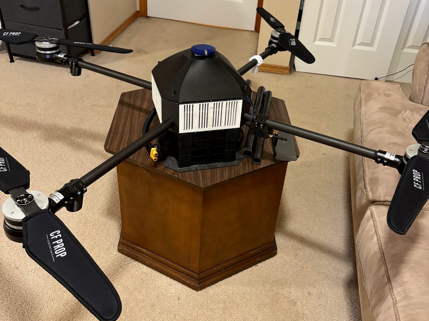
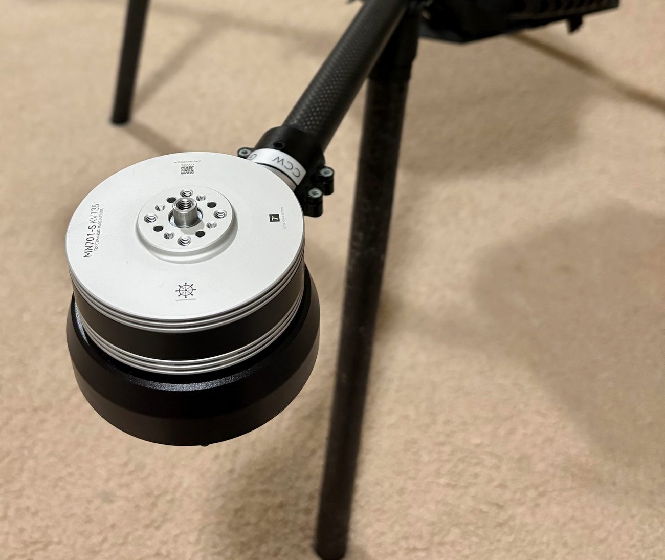
| Configuration | X-frame quadcopter, VTOL |
|---|---|
| Structure | Carbon-fiber center plates + CF tube arms |
| Assembly | Tool-less M5 thumb-screw arms |
| Transport | Folds into a single check-in case |
| Payload | Two independent drop bays |
AVIONICS
Redundant links, no single failure point.
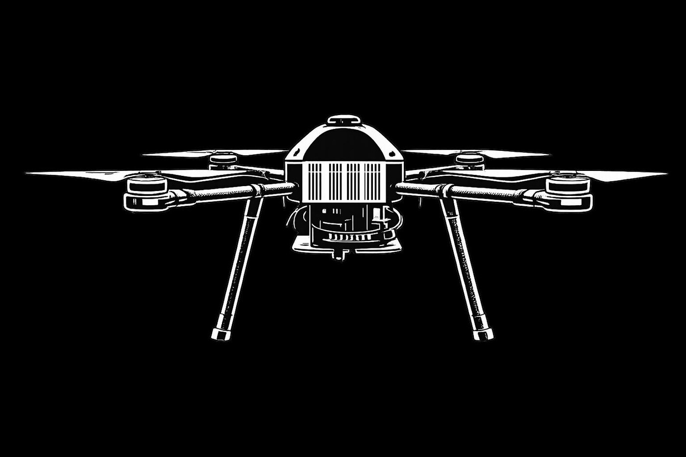
A Cube Orange+ running ArduPilot is the heart. Position comes from a Here4 GPS that also broadcasts the FAA Remote ID. Two independent RFD900x telemetry links and a manual RC backup mean losing any one radio does not lose the aircraft.
TESTED: link-loss and failsafe behavior in simulation and on the bench; Remote ID broadcast confirmed on a phone.
| Flight controller | Cube Orange+ · ArduPilot |
|---|---|
| Navigation | Here4 GPS with Remote ID |
| Telemetry | RFD900x, dual redundant links |
| Radio | RadioMaster TX16S manual backup |
| Airspeed | Digital pitot for wind correction |
| Power | 12S LiPo · 44.4 V · 22 000 mAh · 976.8 Wh |
AUTONOMY
It sees, decides, and delivers.
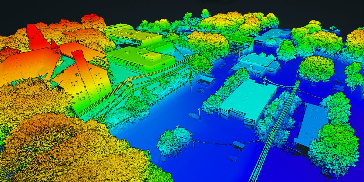
A Jetson Orin NX runs a YOLOv8 detector in real time, trained on tens of thousands of synthetic images. As the aircraft flies a mapping grid it finds the targets, projects each to a GPS coordinate, and computes a wind-corrected release so the payload lands where it should.
TESTED: detector accuracy on held-out imagery; the release calculator against measured drop tests in varying wind.
| Compute | NVIDIA Jetson Orin NX |
|---|---|
| Detection | YOLOv8, TensorRT, real time |
| Mapping | Onboard orthomosaic, lawnmower grid |
| Targeting | GPS projection, sub-2 m accuracy |
| Delivery | Wind-corrected ballistic release |
In flight
The aircraft, airborne.
The same quad, off the ground and holding its own. Everything you see on this page, the frame, the avionics, the autonomy, comes together the moment it leaves the grass.
Built in-house
Our mission control is not off the shelf.
Most teams fly stock software. We wrote our own web ground station: flight instruments, a live map, mission planning, and the judge display. Below is it replaying a logged mission, in your browser.
MISSION LOG
LEAFLET MAP · CUSTOM SVG PFD · WEBSOCKET @ 10 HZ · MAVLINK / ARDUPILOT · 42 TESTS GREEN · VERIFIED IN SIMULATION
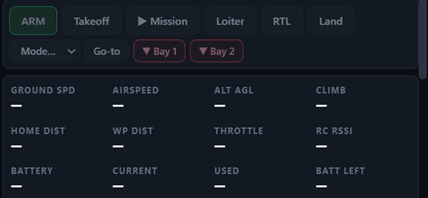
THE REAL THING · FULL AUTONOMOUS MISSION
THIS IS NOT A MOCKUP. THE REPLAY ABOVE MIRRORS OUR REAL GROUND STATION, SHOWN BELOW IN A LOGGED FLIGHT.